Our History
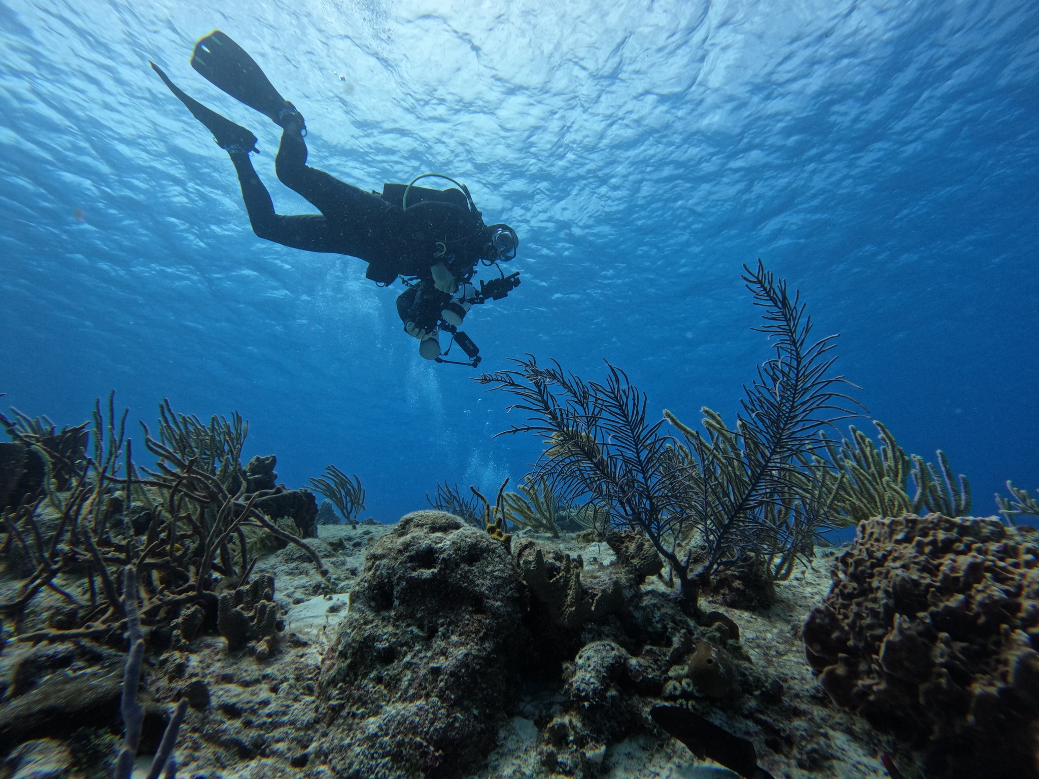
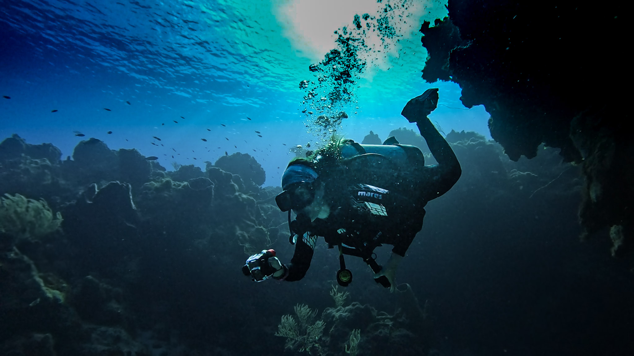
It all began with a great dream: to discover the reefs from a different perspective while also learning much more about them. We are passionate about the ocean—most of us dive masters and instructors—who felt the need for a tool that could show our clients and students not only the grandeur of the reef, but also its depths, currents, structures, orientation, and above all, the importance of properly planning every dive.
Driven by this desire to share and teach, a group of divers—together with the Marine Park (CONANP), Guillermo Mendoza, and freelance friends—set out on an adventure: to map and photograph the reefs of Cozumel’s Marine Park. Countless dives and long hours in front of the computer followed, tracing and modeling every detail in 3D to bring this dream to life.
From the very beginning, the idea was clear: the tool had to be simple to use, yet powerful enough to offer not only a 2D vision, but also a 3D one. We wanted it to be interactive, immersive, and capable of bringing everyone closer to the true magic of Cozumel’s reefs.
The journey wasn’t easy. The biggest challenge was always money. Although the project represented a fundamental tool for our work, it also became the main obstacle to moving forward. That was when CONANP opened a valuable door for us and, with incredible kindness, gave us the information, support, and encouragement we needed to keep going. Meanwhile, we kept diving, carefully drawing the outlines of the reefs with every descent.
At the same time, Guillermo Mendoza donated to and actively supported the cause. His contribution was decisive in making our diving trips possible—always with the condition that they would not interfere with spaces reserved for clients. Memo is, without doubt, an extraordinary person: positive, clear-minded, and with a contagious enthusiasm for promoting projects that bring real value to the sector. For over 30 years, he has supported the Marine Park through his own operation, dedicated to monitoring the reef system of Cozumel.
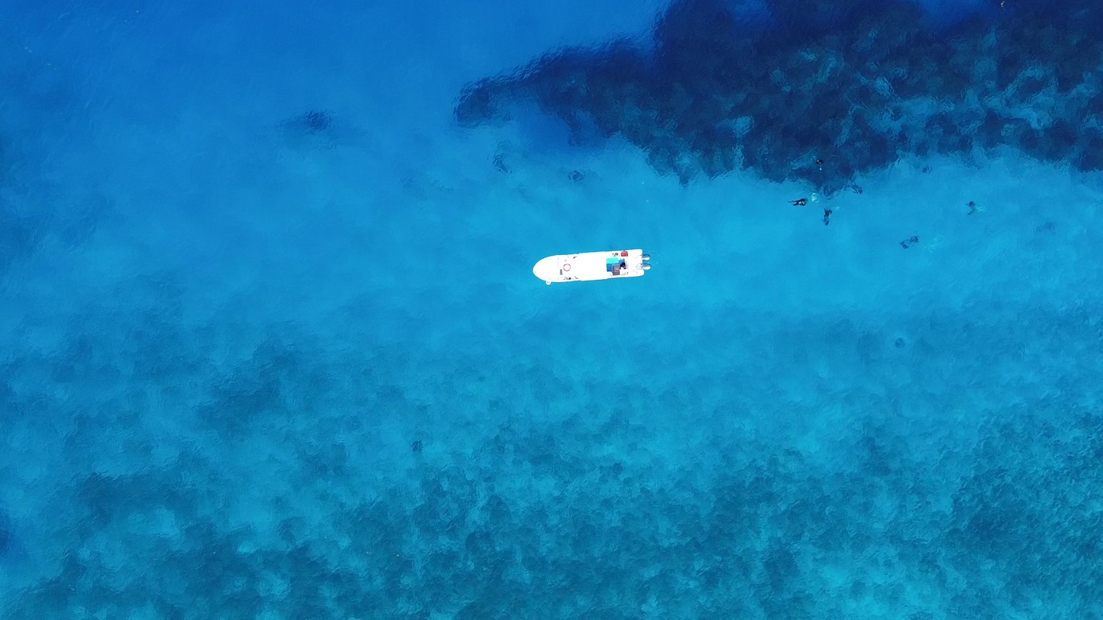
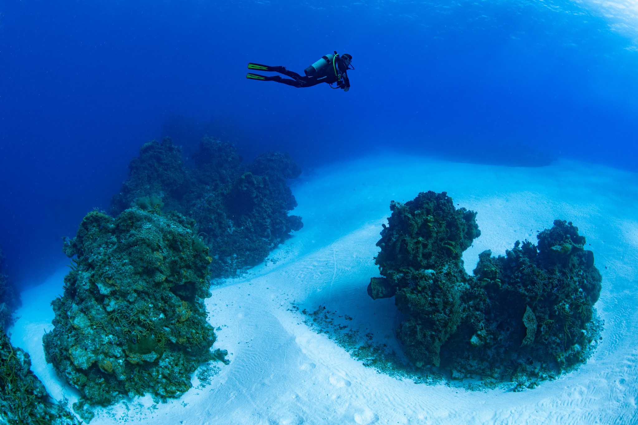
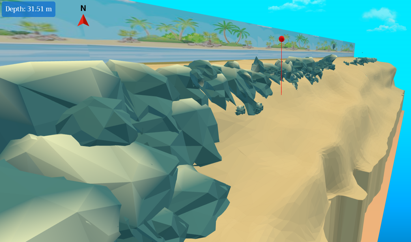
As time passed, the project began to take shape. We were able to visualize the reefs of Cozumel in 3D—without animations or rendering software. That moment was a burst of emotions: it was one thing to see them underwater, and quite another to truly understand your surroundings with that level of detail and clarity. Suddenly, excitement and euphoria overwhelmed us as we saw the first results—because at last, we could anticipate what the next dive would look like and plan it with a precision we had never imagined. One of the greatest challenges was giving depth to the sandy areas connecting to the wall. To achieve this, we had to descend to the deepest zones and record, at precise intervals and with clear references, the maximum depth at each point. It was demanding but fascinating: seeing the reef as a structure independent of the wall opened new ways of understanding it.
And though the structural logic of the reef seems evident above the surface, everything transforms beneath the water: the sense of continuity dissolves, and it’s challenging to grasp the true magnitude of the system. It was then that we realized all the reefs of Cozumel are part of a single grand line, a backbone stretching from the island’s south to its north. For thousands of years, sand has buried vast fragments of this structure, fragmenting it before our eyes. Just imagining we could "sweep away" the sand to behold the reef in its full expanse invites us to dream boldly. And yes, stepping back, we discover we stand before a monumental reef, its grandeur far surpassing what any single dive can reveal.
Think of it this way: when a reef structure rises above the sand, it’s really just a small part of something much larger. Beneath it, that same formation may continue for dozens of meters, hidden under thousands of cubic meters of sand accumulated over millennia. What we see while diving is barely “the tip of the iceberg.” What wonders lie beneath that mantle of sand? Just imagining it gives you goosebumps. To reflect on the reef’s real magnitude—its invisible greatness—is to dream of something majestic, almost impossible to measure.
And so we carried on with the project, overcoming highs and lows, even facing moments when resources were so scarce that we had to sell part of our secondary equipment just to fund what mattered most: the development of the software. Creating a lightweight, easy-to-use, web-accessible program was no simple task; in many ways, it was like designing the landscape and physics of a video game. We had to think about movement, rotation, translation, camera lighting, online loading of pre-created objects, the positioning of each element—a full technical challenge requiring patience and creativity.
I clearly remember the first time we managed to mark the reef’s real depth with great accuracy on the screen. It was almost magical. With a simple click, you could start tracing the depth, and suddenly the reef—that giant hidden beneath the sea—began to take digital form. That moment changed everything: once depth was defined, we could move on to more complex aspects such as the type of air to use, bottom times, and ultimately, no-decompression limits.
After so many months of work, seeing the project come alive in the digital world was indescribable. It confirmed that we were on the right track, and that what was once a dream was becoming a tangible reality. That’s how this very special project truly began to take shape. Through brainstorming and long conversations, we mapped the digital path we would follow. We imagined different ways to interact with the reef: rotation, translation, even the use of a virtual joystick to explore it as if in a video game.
Each proposal had its pros and cons. The joystick, although common in video games, did not provide a useful perspective for planning a dive, since it resembled the diver’s point of view. Rotation allowed precise turns of the reef but made linear movement more difficult. Translation facilitated displacement, but presented challenges when trying to rotate the structure. We ran hundreds of tests until reaching what seemed the fairest conclusion: to keep all three options. In the end, we realized that every person feels more comfortable with different tools, and we didn’t want to limit anyone’s experience.
We are deeply excited to continue improving this project over time. But what matters most is that the users themselves engage with it and share their feedback. Their perspectives and critiques are essential for evolving this tool into something ever more useful, intuitive, and powerful for planning a visit to the marvelous reefs of Cozumel.
In conclusion, around 2,500 divers arrive on the island every day to explore its waters and immerse themselves in this underwater world. Having this tool would be of incalculable value, because it not only offers a visual description of the reef, but also reminds us of its fragility and of the responsibility we have toward it. This immense and majestic structure is alive and home to millions of organisms that depend on it. It transforms, and it gifts us unique experiences. At the same time, it teaches us that it deserves to be cared for, respected, and preserved. Protecting the reef is not just an act of love for nature—it is a legacy: ensuring that future generations can marvel at its greatness while also sustaining the livelihoods of thousands of Cozumel families who depend on its richness. Each visit, each dive, can be an act of connection, learning, and preservation.